Wundschuh
Place in Styria, Austria

Coat of arms
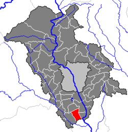
Location within Graz-Umgebung district
(2018-01-01)[2]
8142
Wundschuh is a municipality in the district of Graz-Umgebung in the Austrian state of Styria.
Geography
Wundschuh lies in the Graz basin in the Kaiser forest about 12 km south of Graz.
Places adjacent to Wundschuh | |
|---|---|


Subdivisions
Katastralgemeinden are Kasten and Wundschuh. Other communities are Forst, pop. 122, Gradenfeld, pop. 176, Kasten, pop. 319, Ponigl, pop. 104, and Wundschuh, pop, 676.
References
- v
- t
- e
Municipalities in the district of Graz-Umgebung
- Deutschfeistritz
- Dobl-Zwaring
- Eggersdorf bei Graz
- Feldkirchen bei Graz
- Fernitz-Mellach
- Frohnleiten
- Gössendorf
- Gratkorn
- Gratwein-Straßengel
- Hart bei Graz
- Haselsdorf-Tobelbad
- Hausmannstätten
- Hitzendorf
- Kainbach bei Graz
- Kalsdorf bei Graz
- Kumberg
- Laßnitzhöhe
- Lieboch
- Nestelbach bei Graz
- Peggau
- Premstätten
- Raaba-Grambach
- Sankt Bartholomä
- Sankt Marein bei Graz
- Sankt Oswald bei Plankenwarth
- Sankt Radegund bei Graz
- Seiersberg-Pirka
- Semriach
- Stattegg
- Stiwoll
- Thal
- Übelbach
- Vasoldsberg
- Weinitzen
- Werndorf
- Wundschuh
Authority control databases | |
|---|---|
| International |
|
| National |
|
 | This Styria location article is a stub. You can help Wikipedia by expanding it. |
- v
- t
- e


