Lågheiane

Lågheiane
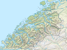
Location of the mountain
Show map of Møre og Romsdal
Lågheiane
Lågheiane (Norway)
Show map of NorwayLågheiane or Lågheia is a mountain ridge in Hustadvika Municipality in Møre og Romsdal county, Norway. The ridge sits at an elevation of 506 metres (1,660 ft) above sea level and it is part of the larger mountain Høgheitinden. From the top of the ridge, there is a nice view of the village of Elnesvågen and the inner part of Hustadvika. At the peak, there is a notebook that hikers can sign.
See also
References
- ^ "Lågheia, Fræna (Møre og Romsdal)" (in Norwegian). yr.no. Retrieved 2019-06-04.
- v
- t
- e


