Hungrel Gewog
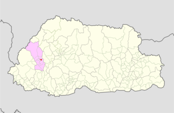
Gewog in Paro District, Bhutan
Hungrel Gewog ཧཱུྃ་རལ་ | |
|---|---|
Gewog | |
 | |
| Country |  Bhutan Bhutan |
| District | Paro District |
| Time zone | UTC+6 (BTT) |
Hungrel Gewog (Dzongkha: ཧཱུྃ་རལ་) is a gewog (village block) of Paro District, Bhutan.[1] In 2002, the gewog had an area of 3.6 square kilometres and contained 17 villages and 247 households.[2]
The Gewog is divided into 5 chewogs: Gaupay Chewog, Lunhchuna Chewog, Hungrel Chewog, Jangsabu Chewog and Changsema Chewog. 78% of the households have piped drinking water facilities, and over 100 households have electricity connections. The economy is based on agriculture, mainly the dry and wetland cultivation of paddy, wheat, potatoes, apples and dairy products.[3]
References
- ^ "Chiwogs in Paro" (PDF). Election Commission, Government of Bhutan. 2011. Archived from the original (PDF) on 2011-10-02. Retrieved 2011-07-28.
- ^ "Hungrel Gewog Ninth Plan (2002-2007)" (PDF). Paro Dzongkhag Royal Government of Bhutan. Retrieved August 25, 2010.[permanent dead link]
- ^ "Hungrel Gewog Profile". Royal Government of Paro Dzongkhag. Archived from the original on October 18, 2009. Retrieved August 25, 2010.
- v
- t
- e
Village groups (gewogs) of Bhutan
Bhutan Zone
| Dagana District |
|
|---|---|
| Gasa District | |
| Punakha District | |
| Tsirang District | |
| Wangdue Phodrang District |

Bhutan Zone
| Bumthang District | |
|---|---|
| Sarpang District | |
| Trongsa District | |
| Zhemgang District |
Bhutan Zone
| Chukha District | |
|---|---|
| Haa District | |
| Paro District | |
| Samtse District | |
| Thimphu District |
Bhutan Zone
| Lhuntse District | |
|---|---|
| Mongar District | |
| Pemagatshel District | |
| Samdrup Jongkhar District | |
| Trashigang District | |
| Trashiyangtse District |
| Dagana District | |
|---|---|
| Chukha District | |
| Pemagatshel District | |
| Samtse District | |
| Sarpang District | |
| Thimphu District | |
| Tsirang District | |
| Samdrup Jongkhar District |
 | This Bhutan location article is a stub. You can help Wikipedia by expanding it. |
- v
- t
- e


